A Geo-Spatial Analysis of the land surface phenology of Chile: New insights into assessing the potential effects of climate change on vegetation
[2017 – 2020]
Proyecto FONDECYT regular Nº11171046
Investigador Principal: Roberto Chávez
Ayudante: M. Olea
|
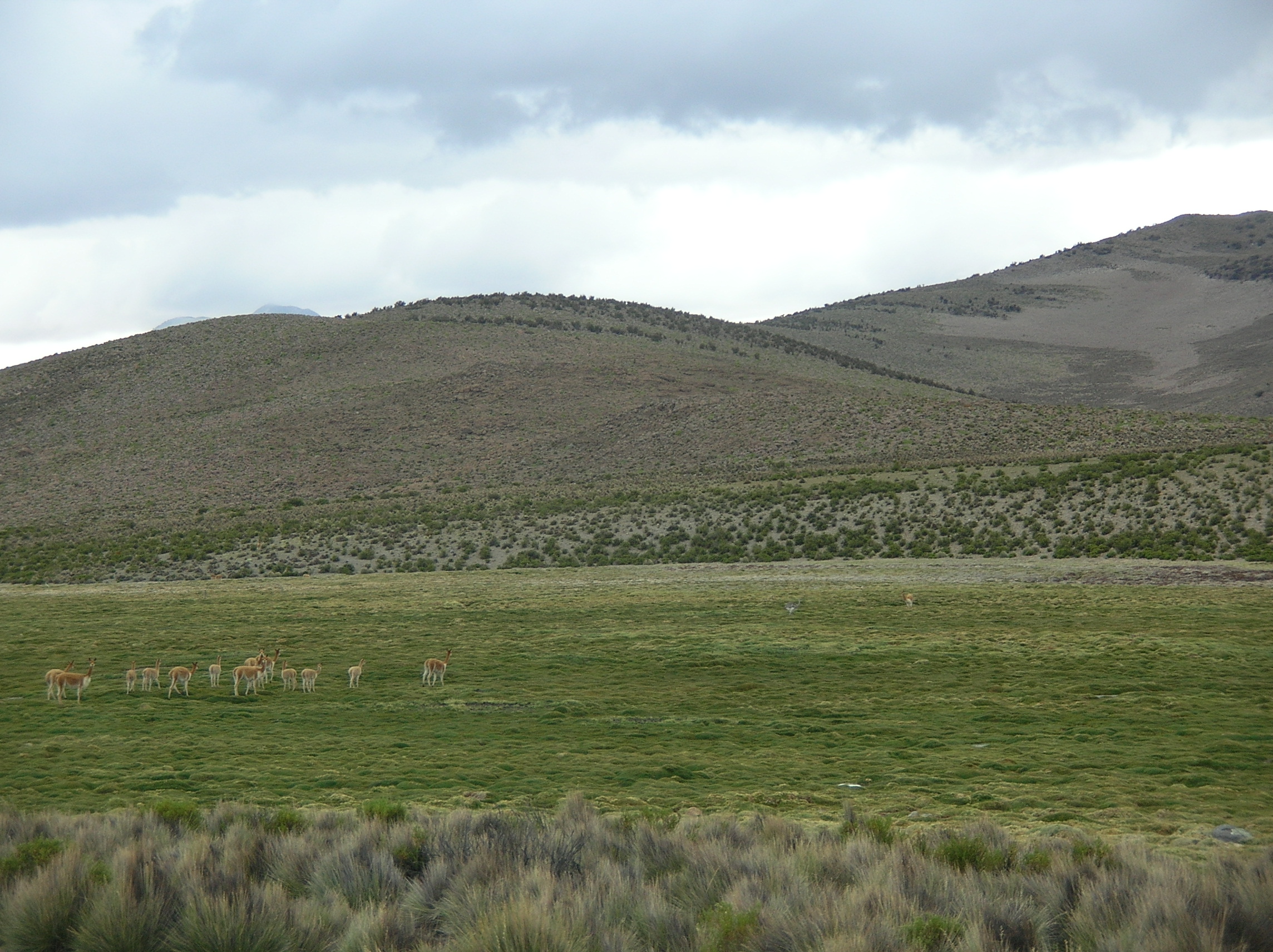
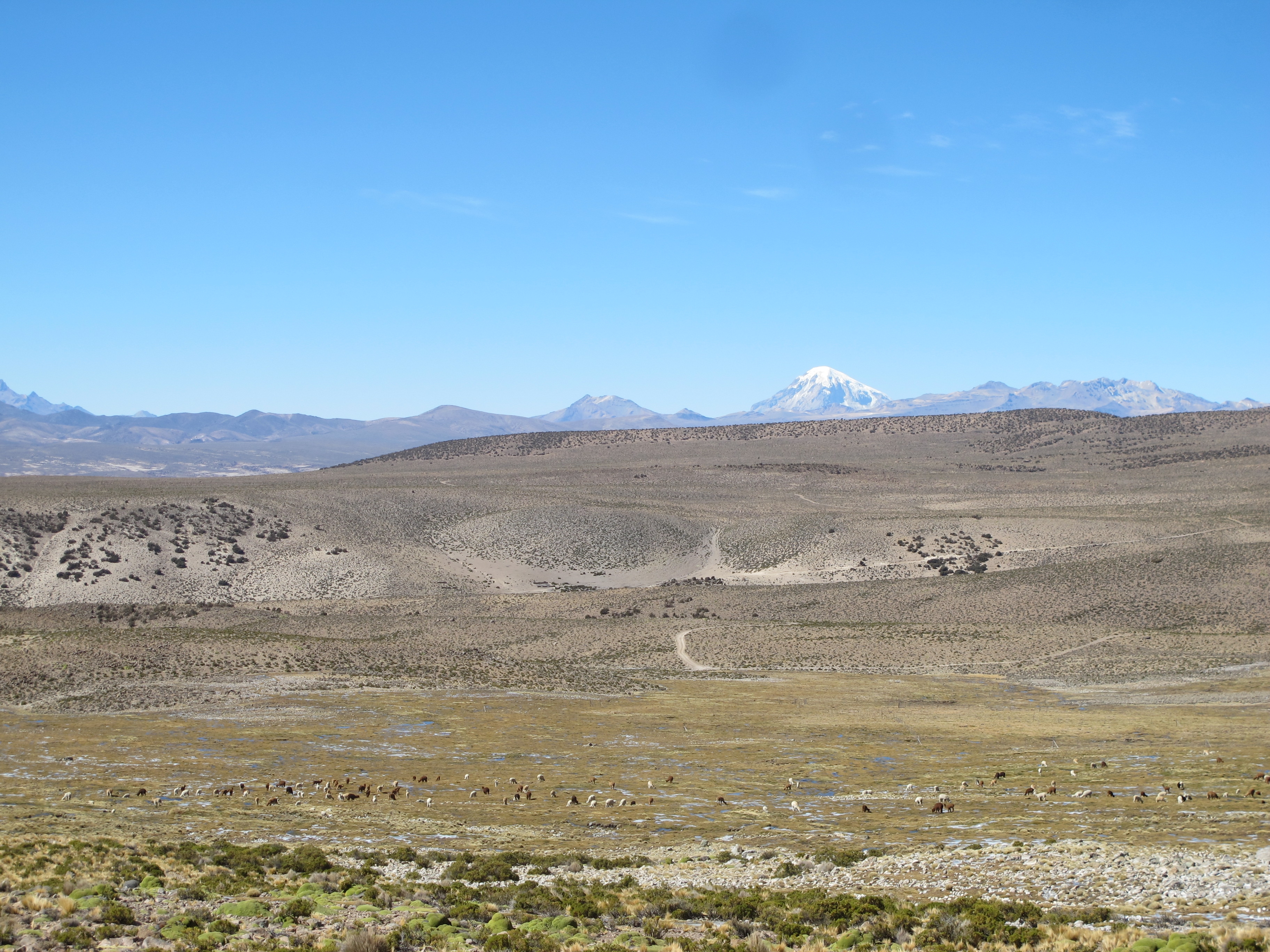
Si bien se puede encontrar una gran lista de definiciones de fenología de la vegetación en la literatura, en esta investigación utilizaremos la propuesta de Schwartz (2003) que dice "el calendario de eventos recurrentes estacionalmente en las plantas y la relación de tales tiempo al clima". Históricamente, los estudios fenológicos han sido observacionales y se han centrado en registrar el momento de diferentes eventos fenológicos como el brote de la yema, el desarrollo de la hoja, la floración, y la senescencia (Jeanneret 2010; Sparks & Tryjanowski 2005). Teniendo en cuenta la sensibilidad de la fenología de la vegetación al cambio climático, pero también las limitaciones geográficas de los estudios fenológicos de campo, en la última década una nueva área de investigación científica, las tendencias en la fenología de la superficie terrestre (LSP), ha contribuido enormemente a comprender las dinámicas fenológicas estacionales a decenales. a escala continental y global (Schwartz 1999; Xiao et al. 2009; Myneni et al. 1997). La LSP, definida como "el patrón estacional de variación en las superficies de tierra con vegetación observada desde la detección remota" (Friedl et al. 2006), se reconstruye utilizando series temporales de verdor de vegetación registrada por sensores a bordo de una plataformas satelitales. El LSP se basa en series temporales de índices de vegetación (por ejemplo, NDVI, EVI o más recientemente EVI2) calculadas a partir de bandas espectrales de sensores ópticos como AVHRR, SPOT vegetación y MODIS, sensibles a las variaciones en la biomasa verde (de Beurs & Henebry 2010). Por lo tanto, la reconstrucción fenológica es representativa de todos los tipos de vegetación presentes dentro del área medida por el sensor, y por lo tanto, se define por la resolución espacial (o tamaño de píxel) de la imagen del satélite (Friedl et al. 2006). De esta manera, el LSP se diferencia del concepto de fenología de vegetación tradicional cuyo centro se centra en una especie de planta, uso de suelo o tipo funcional de planta dado. Estrictamente hablando, el LSP es equivalente a la fenología de la vegetación de la hoja solo cuando el píxel en el nivel del suelo está cubierto por un solo tipo de vegetación. A pesar de las limitaciones de tener una señal mixta, la LSP constituye la única aproximación posible para cuantificar las dinámicas fenológicas estacionales en grandes áreas y se considera la forma más simple y eficiente de evaluar los efectos del cambio climático (Ganguly et al. 2010; Zhang et al . 2007).
|
Although a large list of definitions of vegetation phenology can be found in literature, in this research we will accept the one proposed by Schwartz (2003): "the timing of seasonally recurring events in plants and the relationship of such timing to climate". Historically, phenological studies have been observational and focused on recording the timing of different phenological events such as bud burst, leaf development, flowering, fruit set, and senescence (Jeanneret 2010; Sparks & Tryjanowski 2005). Considering the sensitivity of vegetation phenology to climate change, but also the geographical limitations of field phenological studies, in the last decade a new scientific research area, trends in the land surface phenology (LSP), has contributed enormously to uderstand seasonal to decadal phenological dynamics at continental to global scale (Schwartz 1999; Xiao et al. 2009; Myneni et al. 1997). LSP, defined as "the seasonal pattern of variation in vegetated land surfaces observed from remote sensing" (Friedl et al. 2006), is reconstructed using time series of vegetation greenness retrieved by sensors on board of a satellite platform. LSP is based on time series of vegetation indices (e.g. NDVI, EVI or more recently EVI2) calculated from spectral bands of optical sensors such as AVHRR, SPOT vegetation and MODIS, sensitive to variations in green biomass (de Beurs & Henebry 2010). Thus, the phenological reconstruction is representative of all vegetation types present within the area measured by the sensor, and therefore, it is defined by the spatial resolution (or pixel size) of the satellite image (Friedl et al. 2006). This way, LSP differs from the traditional vegetation phenology concept which center is focused on a given plant species, land use or plant functional type. Strictly speaking, LSP is equivalent to the leaf vegetation phenology only when the pixel at the ground level is covered by a single vegetation type. Despite the limitations of having a mixed signal, LSP constitutes the only possible approximation to quantify seasonal phenological dynamics over large areas and it is considered the simplest and most efficient way to assess the effects of climate change (Ganguly et al. 2010; Zhang et al. 2007).
|